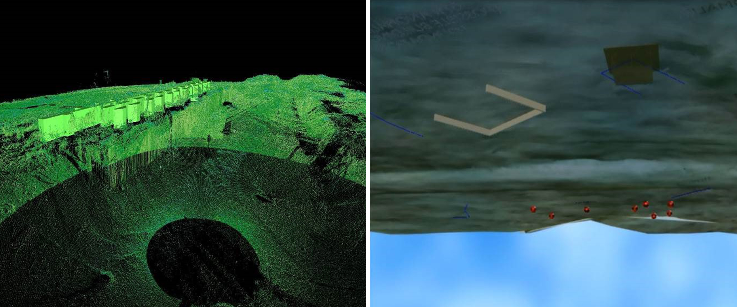
To support historical preservation efforts, KCI provided survey and mapping services for a section of land along the Tennessee River that was part of the Trail of Tears.
This site, previously utilized by Native Americans as a debarking location, included old trail pathways and hidden structures that were overgrown with vegetation. Our team conducted surveys that included specialized ground penetrating radar (GPR) and 3D scanning to produce a three-dimensional view of both aboveground and underground features. Additionally, KCI created a topographic map that included contours and structures from an old railroad station platform and trails along the river.