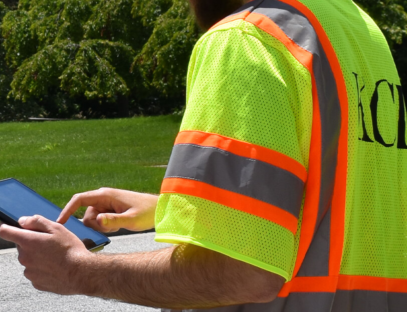
KCI provided drone inspections for linear grass swale best management practices (BMP) assets, which minimized the boots-on-the-ground inspection level effort and maximized field staff safety on high-traffic roadways.
Our team captured aerial photography of grass swales which was then analyzed to perform an inspection of the BMPs. Flight paths and focal points were determined utilizing supported drone software platforms, and field teams mobilized to BMP locations to photograph the limits of the swale. The images were then downloaded to supported drone software for the inspection team to analyze and enter the inspection record utilizing ESRI’s Survey123.
The solution allowed field crews to stage in safer areas along the roadway and minimize the need for maintenance of traffic (MOT). Overall, the program showed improvements in cost effectiveness for BMP inspections and increased safety for field teams.

